StoryMaps and Walking Tours
We are all connected to one another, to the more-than-human beings with whom we share space, and to the land and waterways, our earliest ancestors. To understand a fuller history of the land and waterways upon which we live and labor, we need to uncover new ways of seeing and listening, ways that shed the colonial lens that favors the straight lines and impositions of the built environment and erases the flow and processes of the natural world. As Upstander Project seeks to share our research about the hard and hidden history of the U.S. with a wider audience, we have turned to walking tours and related StoryMaps to help us all attune more carefully to the stories the land and waterways tell.
On occasion, we offer guided walking tours, especially for educators, students, and people of faith. In an effort to more broadly disseminate our research and make this learning and unlearning available to all, we create StoryMaps, educational videos, and other resources. As these materials become ready to share, we will add them here! Use them on your own or with a trusted group as you build your upstander skills.

Before Boston Guided Walking Tour: How the Freedom Trail Paved Over Indigenous History
This guided walking tour provides a hidden historical narrative of Native spaces in greater Shawmut, before it became known as Boston. It highlights changes in land, water, and lifeways following the disruptions and violence of European colonization. The tour covers a vast chronology, from the origins of Native Peoples in Shawmut over 13,000 years ago to present-day Native communities living in and around greater Boston. This is intended to serve as a public history resource for learning and unlearning about sites near Boston's "Freedom Trail," which hold significance for Native and non-Native peoples, past and present. It is not a comprehensive history of Indigenous homelands and peoples of Boston, nor does it speak on behalf of or represent regional tribes, individuals, or groups.

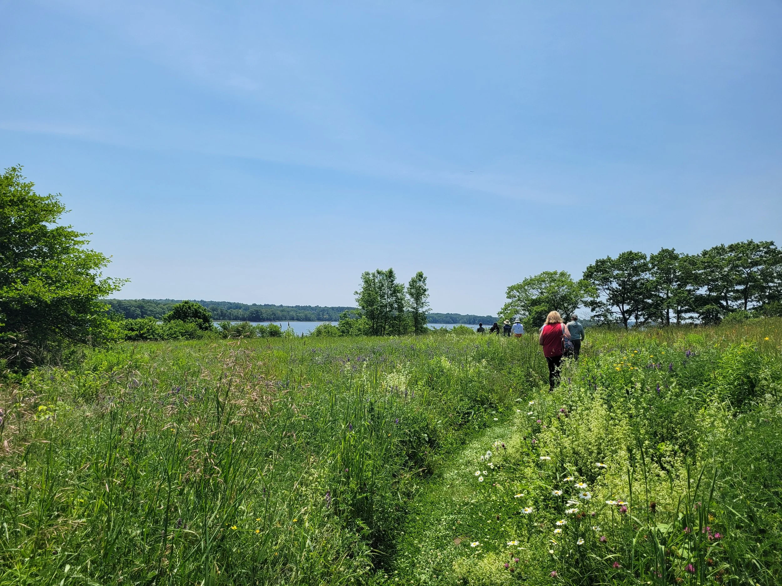
Walking Tour of Native Erasure in Colonial Cambridge
This virtual walking tour and map focuses on Native Spaces in Massachusett homelands, in what became the colonized place the English called Newtowne, later Cambridge. While many of the locations may be familiar landmarks, this walking tour provides a hidden historical narrative which tells a story of Massachusett survivance and settler colonialism.
Owl's Head Bay Massacre and StoryMap
This StoryMap supports a place-based historical recovery initiative and mapping, which revisits James Cargill's murderous bounty rampage against Penobscot people in July 1755. Upstander Project shares research into this long-erased story of colonial violence and genocide to honor the memory of Margaret Moxa and her family, as well as the memories of countless Wabanaki people who were hunted, captured, killed, and scalped for money and land by militia. It is our hope that this StoryMap will help readers un-learn the "twistory" that many of us were taught.
Timelines
Explore historical Timelines which combine place-based research, original maps, documents, manuscripts, images, and photos from regional and national archives, research institutions and libraries. They provide place-based narratives and historical context.

Scalp Bounties Targeting Tribal Nations Before, During and After the Revolutionary War
This timeline reveals scalp bounties and campaigns carried out before, during and after the Revolutionary War by “Patriot” and British-aligned forces. Bounties promised by military officials and political appointees incentivized scalping, captivity, dispossession, and campaigns of ethnic cleansing that targeted Tribal Nations throughout and beyond the thirteen colonies. During the Revolution tribal citizens faced increased settler violence and displacement. Native communities had to make difficult choices about how best to protect their peoples, homelands, and sovereignty; would they participate in the war or resist calls to become involved?